LiDAR data and digital twins for better forest management
As the risks to forests increase with climate change, forest managers are turning to LiDAR data and digital twins for better ways to monitor forest structure and manage forest function.
Accurate monitoring and optimal management of a forest’s structure is the best way to ensure it can continue to perform its critical hydrology, geochemical, and biodiversity functions and serve as a sustainable source of timber. But, for management, capturing forest data manually is time consuming and expensive. It typically entails ecologists working in situ, often in remote locations, and can take up to six months to collect the data with the same amount of time again required to analyze it. During the collection and processing time, many things can change in the forest environment, diminishing the usefulness of the data.
The NSW Natural Resources Commission (NRC) is an independent body responsible for providing evidence-based advice to help the State’s government manage waterways and forests, including state forests, private native forests, and Crown forested land. NRC wanted to explore alternative data collection methods that did not require specialist personnel to spend extensive periods of time on site, with the aim of speeding up data collection and reducing the overall time between data collection and the generation of actionable insights.
In 2020, the NSW Premier asked the NRC to oversee the Forest Monitoring and Improvement Program, an initiative to create a better evidence base for forest management decision making.
As part of this program, they engaged Interpine Innovation to digitally collect data on one of 15 native forest plots across coastal NSW.
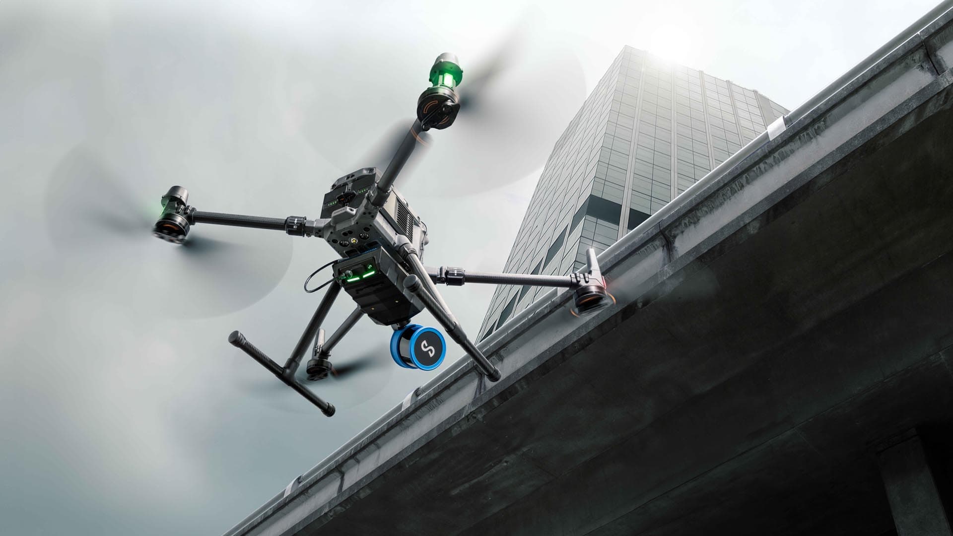
In April 2021, Interpine took their Hovermap LiDAR autonomy and mapping payload to coastal New South Wales to conduct a baseline LiDAR scan of 18 plots of the 15 native forests.
Interpine acquired their Hovermap in September 2020 due to its ability to capture data in remote, inaccessible settings, including steep, thickly forested terrain and knew it was the right tool for this job.

Hovermap enabled an Interpine technician to capture a comprehensive LiDAR scan of the forest plot in just 10 minutes.
“Hovermap provides very rich data and full capture, quickly. That allows us to supply our clients with a clear view of the information they require.”
Capturing a comprehensive picture of forest holdings
Historically, obtaining detailed data on a small section of state forest would have entailed ecologists measuring the trees physically and documenting a range of metrics associated with their health. These would have included tree height, diameter, canopy cover, species composition, and volume of trees for yield. This data capture process is subject to human error and omission and can take days.
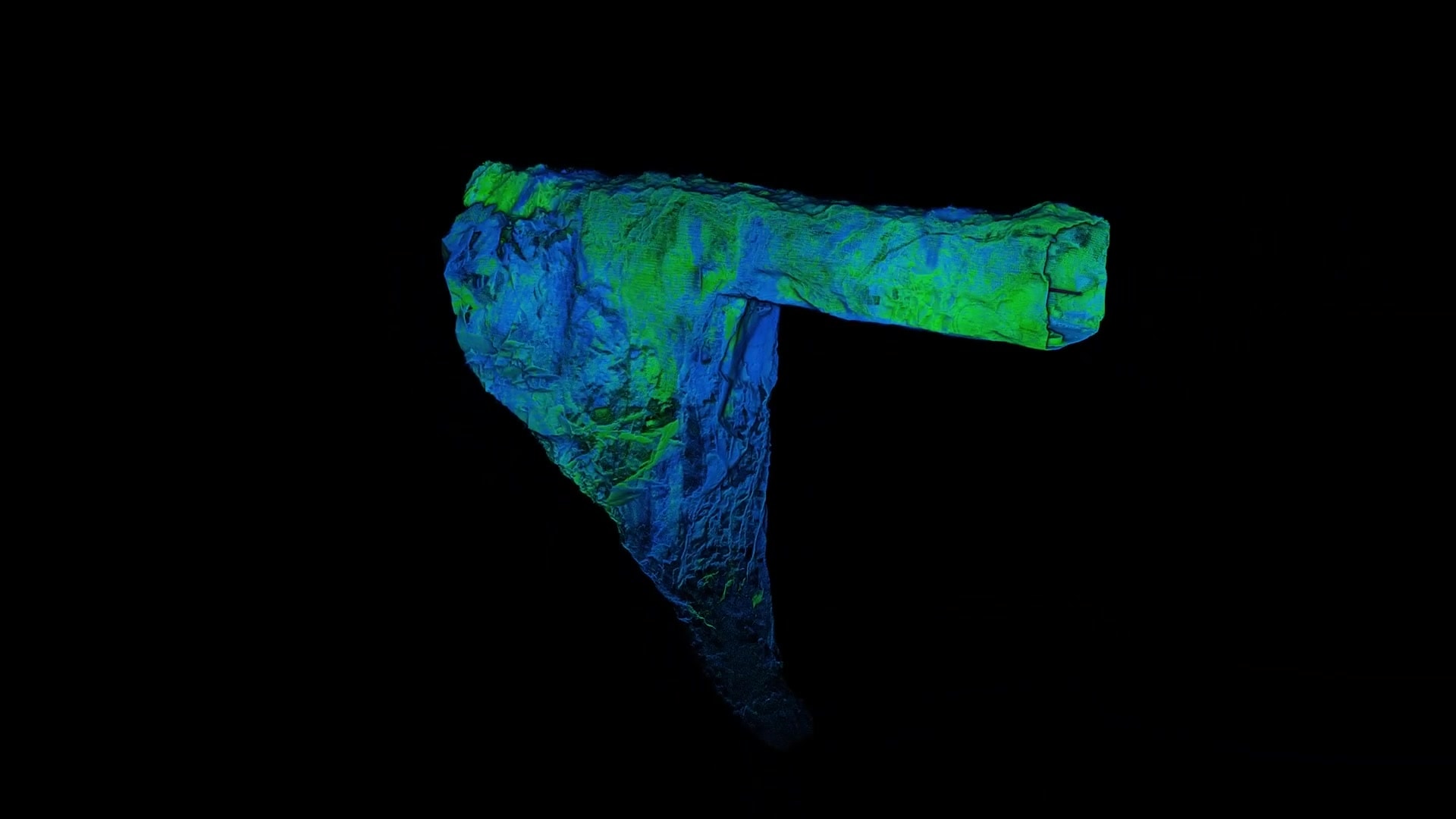
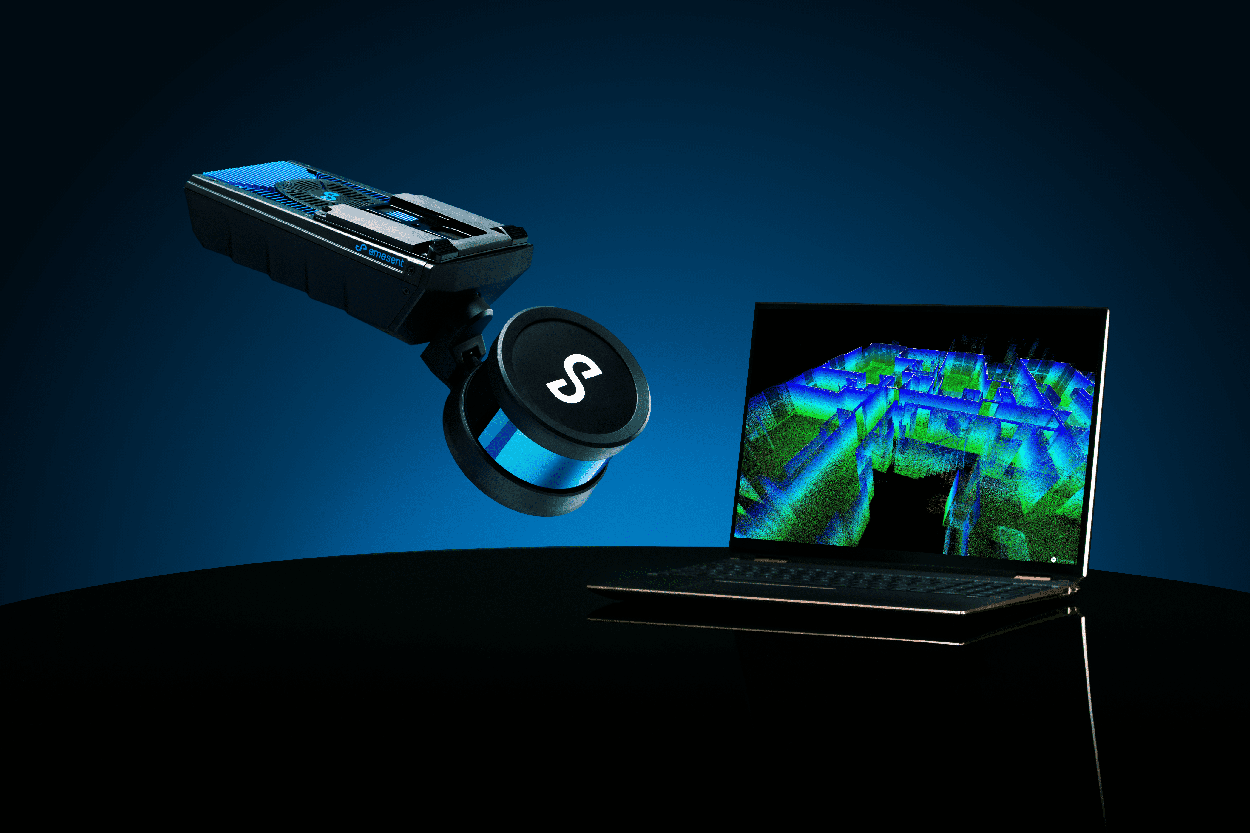
Using a backpack mounted Hovermap, an Interpine technician was able to capture a comprehensive LiDAR scan of the forest plot in just 10 minutes. The high level of detail captured in this scan allows for the creation of a digital twin, meaning ecologists don’t even need to step foot in the forest to get a thorough understanding of its components.
Interpine has interrogated the data using previously created algorithms to capture tree detection, segment individual trees, and provide stem extraction and diameter profile. They are constantly improving this AI by involving an experienced person to measure, assess, and train the algorithms.
LiDAR data for future forest management metrics
The NRC knows they need more robust interrogation systems to identify clearer links in the data and provide measures of structural complexity metric as well as measures of floristic composition.
“Accelerating environmental changes demands we establish new measures of forest function to complement traditional measures, ” said Jeffrey Bell, National Resources Commission Principal Advisor.
With the knowledge that scientists from different areas will bring unique perspectives, the NRC made the data publicly available.
“A key aspect of the Forest Monitoring and Improvement Program is to rethink forest monitoring by collecting data in the most efficient way possible and then democratizing the data. By doing this, we hope to encourage the researchers of the world to analyze it and find new, and better, metrics for measuring and maintaining forest structure,” said Jeffrey.
“The amount of data collected by Hovermap creates many more options for researchers to investigate. It collects data they want and data they don’t yet know they need.”
To help share this data with the world’s scientific community, NRC turned to the Terrestrial Ecosystem Research Network (TERN), a National Collaborative Research Infrastructure Strategy (NCRIS) project that collects, collates and publishes terrestrial ecosystem data from the NCRIS-enabled TERN field observatory, research institutes and Australian state and federal government agencies. TERN is hosting the LiDAR dataset in .LAZ format to provide access to the highest number of interested parties.
NRS hopes that new metrics can be developed for adoption across forestry monitoring and planning, including an ecological indicator, structural complexity, and vertical complexity.
If you would like to review the data, you can find it on the TERN Data Discovery Portal.


